BeamNG.Earth
TecnaGamer
1,786estrellas+128in 24h
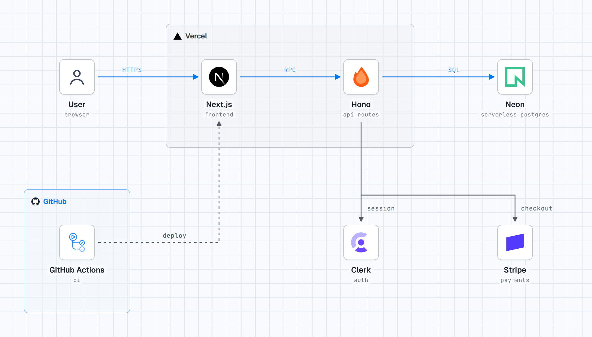
A 1:1 scale streamed Earth for BeamNG.drive: real elevation and satellite imagery, floating origin, LOD streaming from a companion server
- The whole planet at 1:1 scale on real elevation: national lidar where it exists (Mapterhorn: much of Europe, the US and more; in Canada the distant terrain lined up with NRCan's HRDEM lidar ground), Copernicus 30 m elsewhere with buildings and small tree stands filtered out of it.
- A real view distance out to the horizon, with the Earth's curvature.