
opengeos/GeoLibre
opengeos/GeoLibre has 8,465 GitHub stars and 951 forks. GitHot measured +29 stars in 24 hours. Last checked 2026-11-08 21:23 UTC. Last push 2026-11-06.
A lightweight, cloud-native GIS platform for visualizing, exploring, and analyzing geospatial data. It runs in the web browser, on the desktop, on mobile, and inside Jupyter notebooks.
측정된 스타 증가
- in 24h
- +29
- in 7 days
- 업데이트 지연
- in 15 days
- 업데이트 지연
- in 1 month
- 업데이트 지연
서로 겹치는 기간의 순증가량이며 일별 합계가 아닙니다. 측정값이 없으면 비워 둡니다. 스타는 관심도를 나타내며 품질을 보장하지 않습니다.
README.md
OriginalGeoLibre











A free and open-source, lightweight, cloud-native GIS platform for visualizing, exploring, and analyzing geospatial data. It runs everywhere you do, in the web browser, on the desktop, on mobile, and inside Jupyter notebooks, all while keeping your data local and private.
It also ships 1,000+ geoprocessing tools that run entirely in your browser on WebAssembly — terrain, hydrology, LiDAR, remote sensing, and vector analysis with no server, no install, and no data ever leaving your machine.
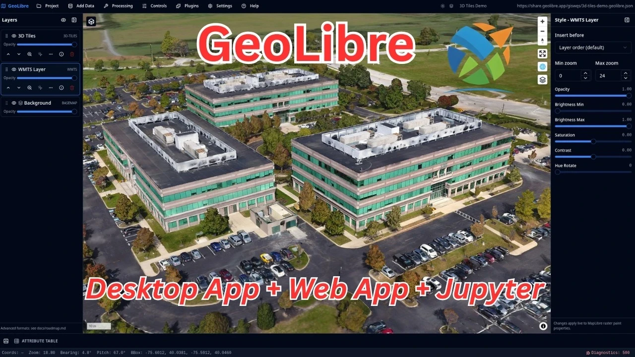
GeoLibre is built with Tauri v2, React, TypeScript, MapLibre GL JS, DuckDB-WASM Spatial, and deck.gl. The same workspace runs as a native desktop app, native Android and iOS apps, in any modern web browser, and adapts responsively to mobile and small screens.
One project can be viewed through four rendering engines: MapLibre GL JS (the default), Mapbox GL JS, CesiumJS, or the ArcGIS Maps SDK for JavaScript. Switch the primary map from View → Rendering engine, or mix engines in synchronized split panes, without duplicating the project or its layers. See the rendering-engine guide for capabilities, credentials, and current compatibility.
- Launch GeoLibre Web — the full app in your browser, nothing to install
- Download the desktop app — Windows, macOS, and Linux installers
- Get it on the Mac App Store — the sandboxed macOS build
- Get it on the App Store — the native iOS app for iPhone and iPad
- Get it on Google Play — the native Android app
- Get the Chrome extension — open datasets you find on any webpage in GeoLibre
- Use the Python package — embed and control the full app in Jupyter notebooks
- Use the R package — build interactive maps in RStudio, Quarto, R Markdown, and Shiny
- 1,000+ geoprocessing tools — the full toolbox, in the browser
- Get started — install, run from source, and configure
- Features — the complete feature list
- Rendering engines — compare MapLibre, Mapbox, Cesium, and ArcGIS and learn how to switch or combine them.
- Open data gallery — 105 live projects built from public open data, grouped by theme: health, natural hazards, climate, oceans and water, nature, transport, cities, energy, space, history and culture, society and economy, and food.
Demos
Click any screenshot to open it at full resolution, or any animation to play the full-quality video.
3D Tiles
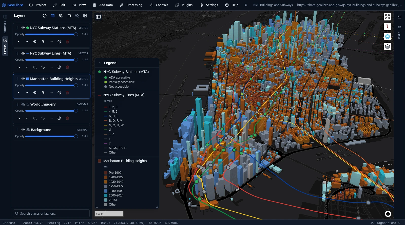
NYC buildings and subways
Manhattan building footprints extruded in 3D and colored by construction era, with the MTA subway lines and stations on top and a legend generated automatically from the layers' symbology.
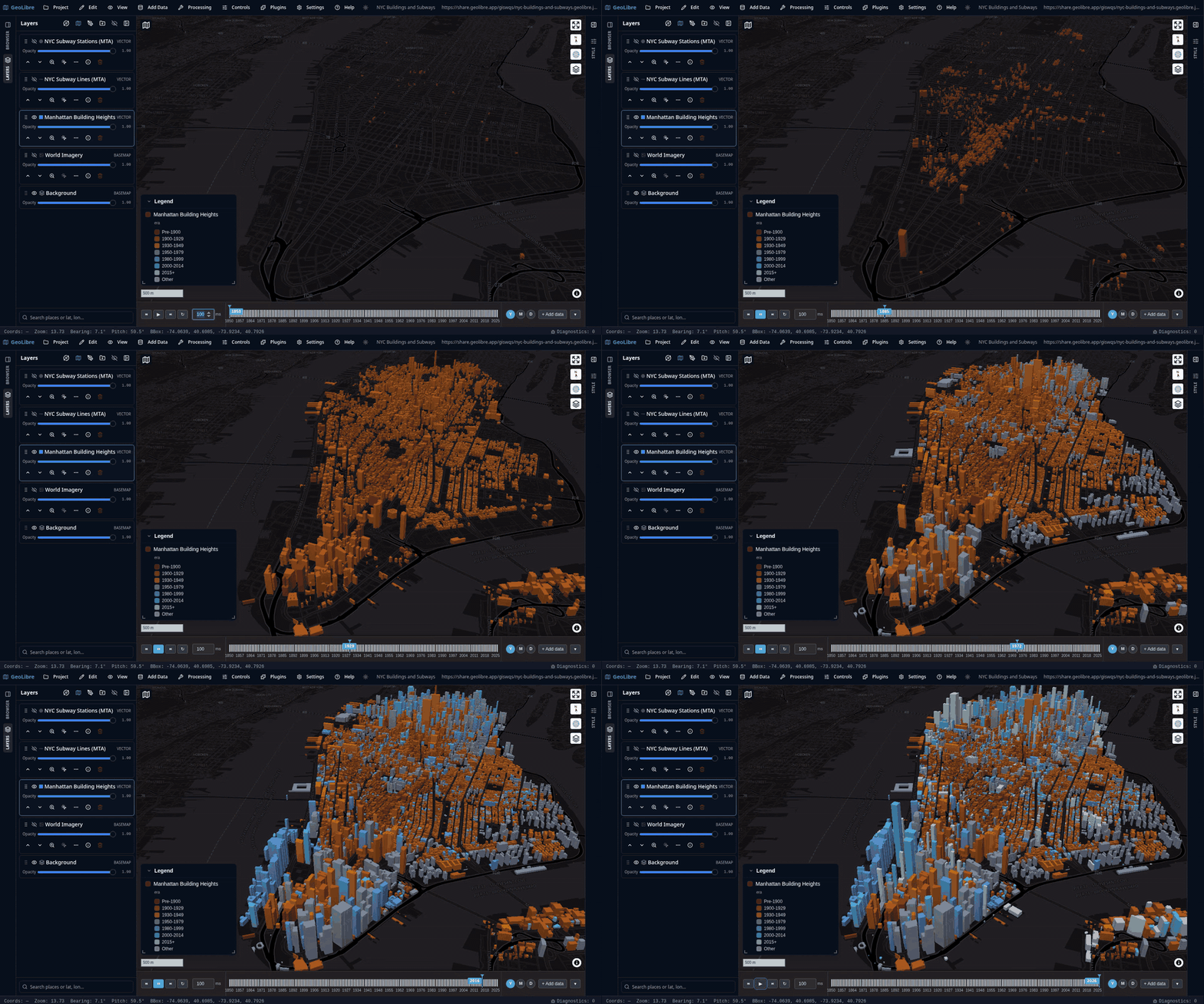
The animation below runs the Time Slider along the buildings' construction year, from 1850 to 2025, so Manhattan fills in era by era. Click it to play the full-quality video.
Planetary basemaps
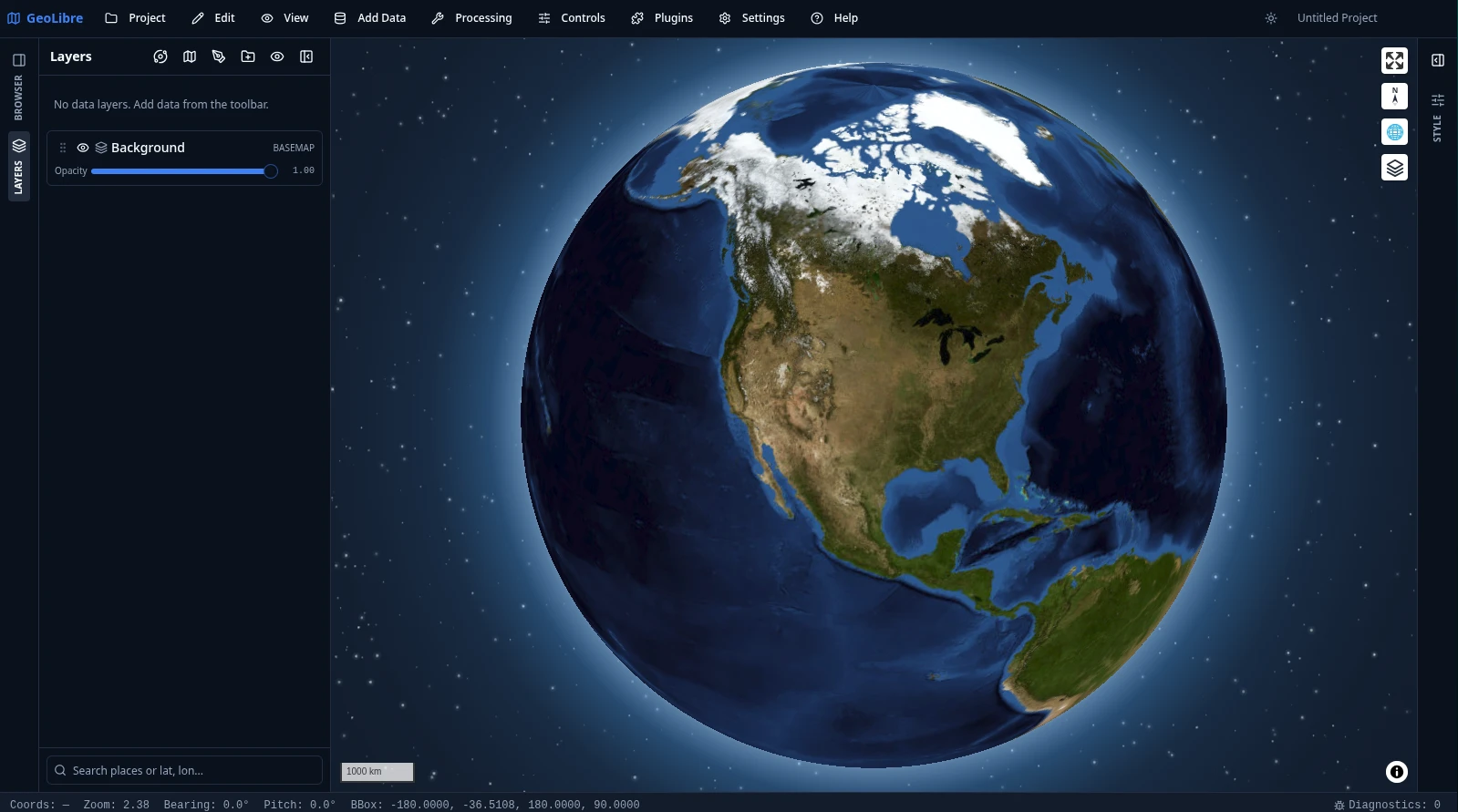
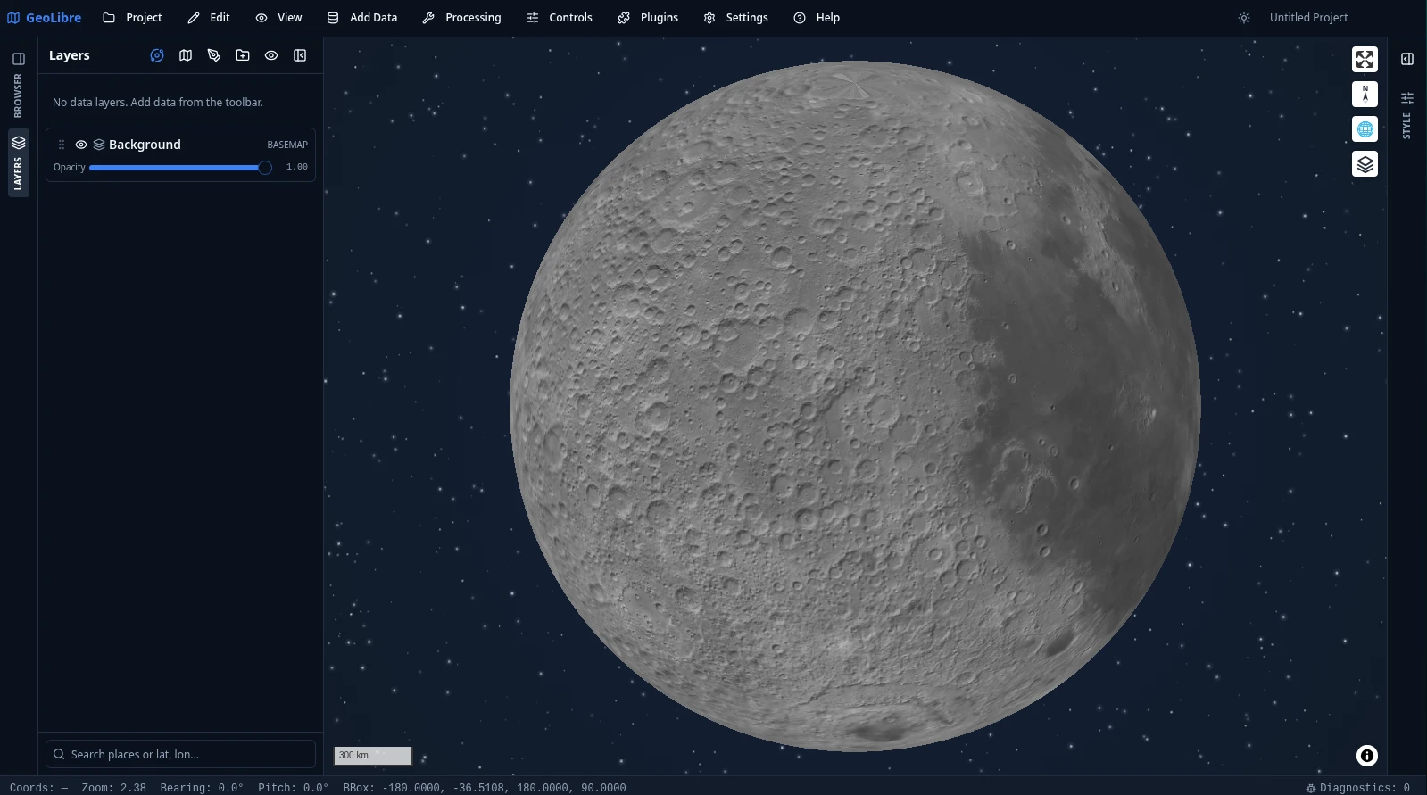
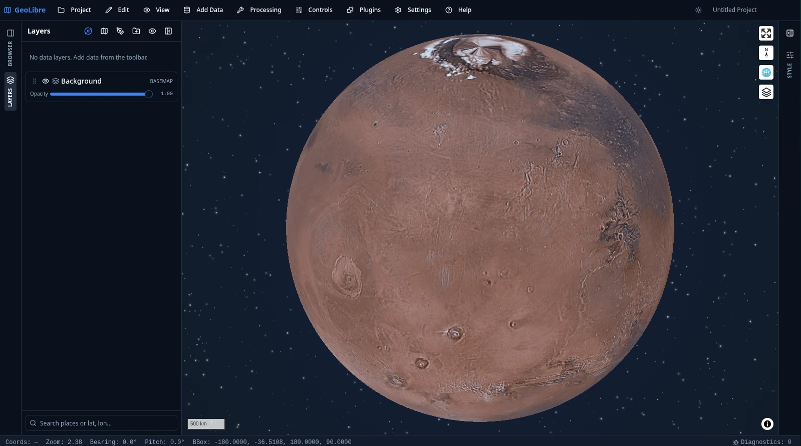
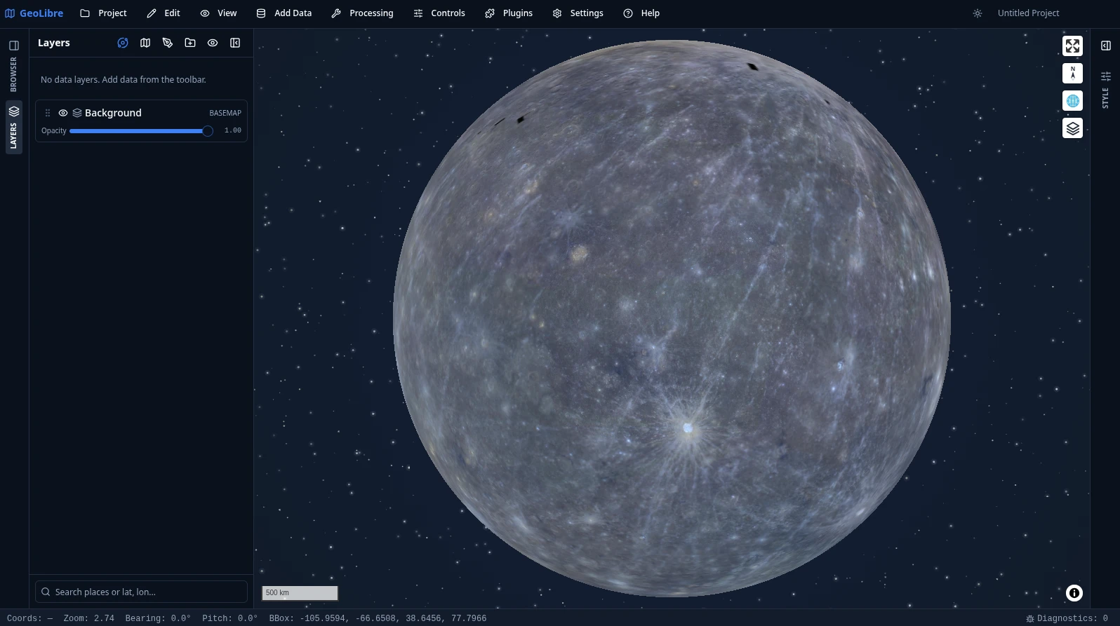
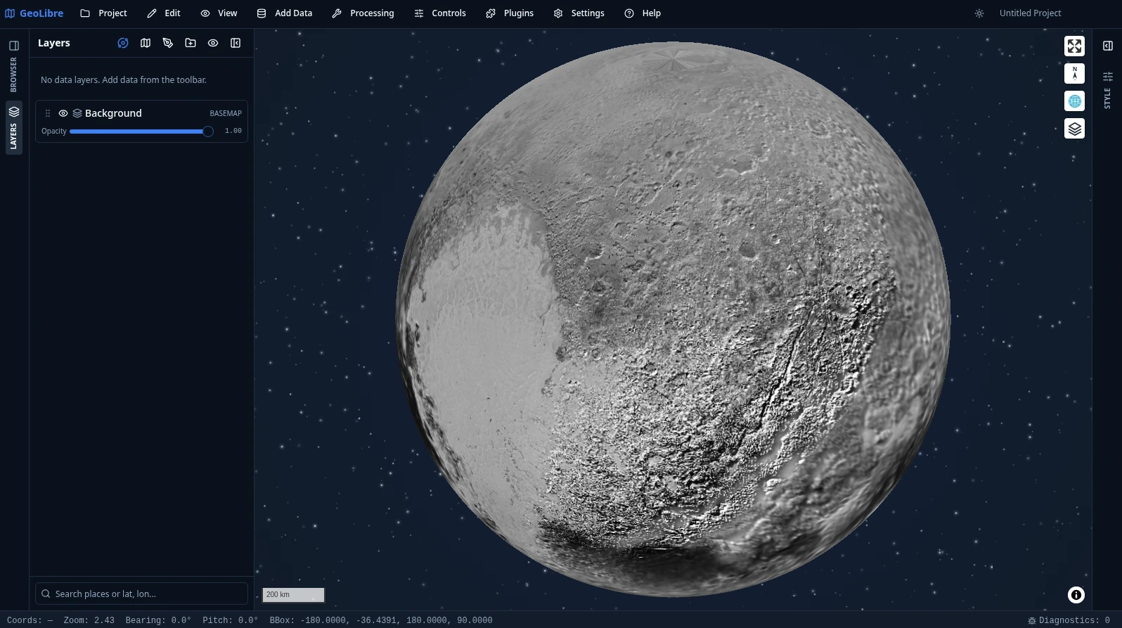
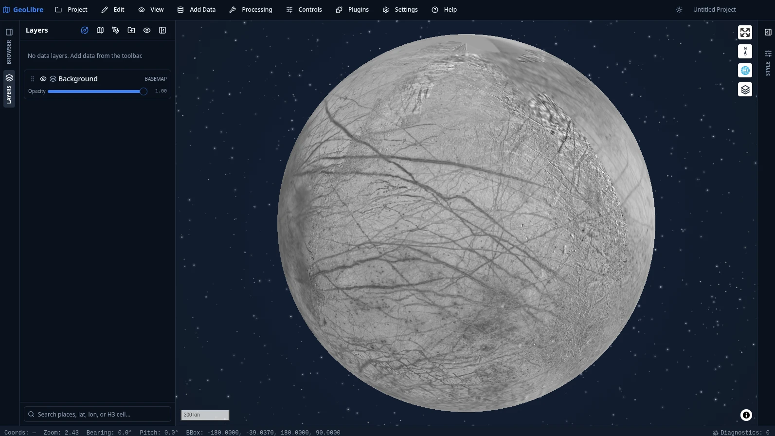
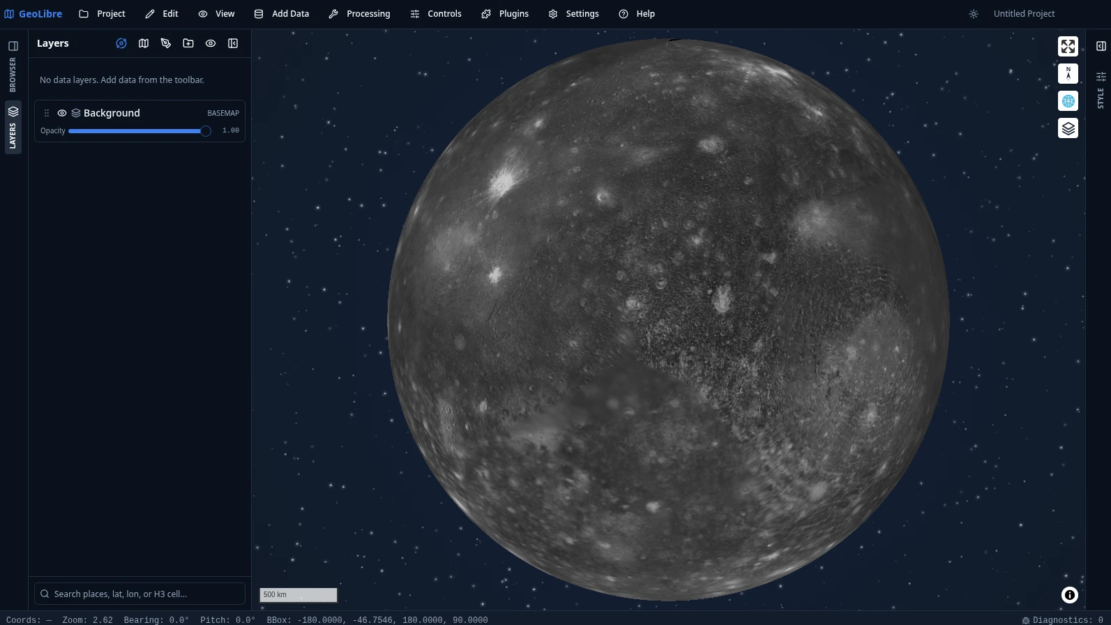
GeoLibre is not limited to Earth. Planetary basemaps from OpenPlanetaryMap and USGS Astrogeology cover the Moon, Mars, Mercury, Venus, the Galilean moons (Io, Europa, Ganymede, Callisto), Titan, Pluto, and Charon, with a per-project ellipsoid so distance, area, and scale measurements match the body you are mapping. The deep-space starfield behind each globe comes from the Atmosphere Effects plugin.
 |
 |
 |
| Earth | Moon | Mars |
 |
 |
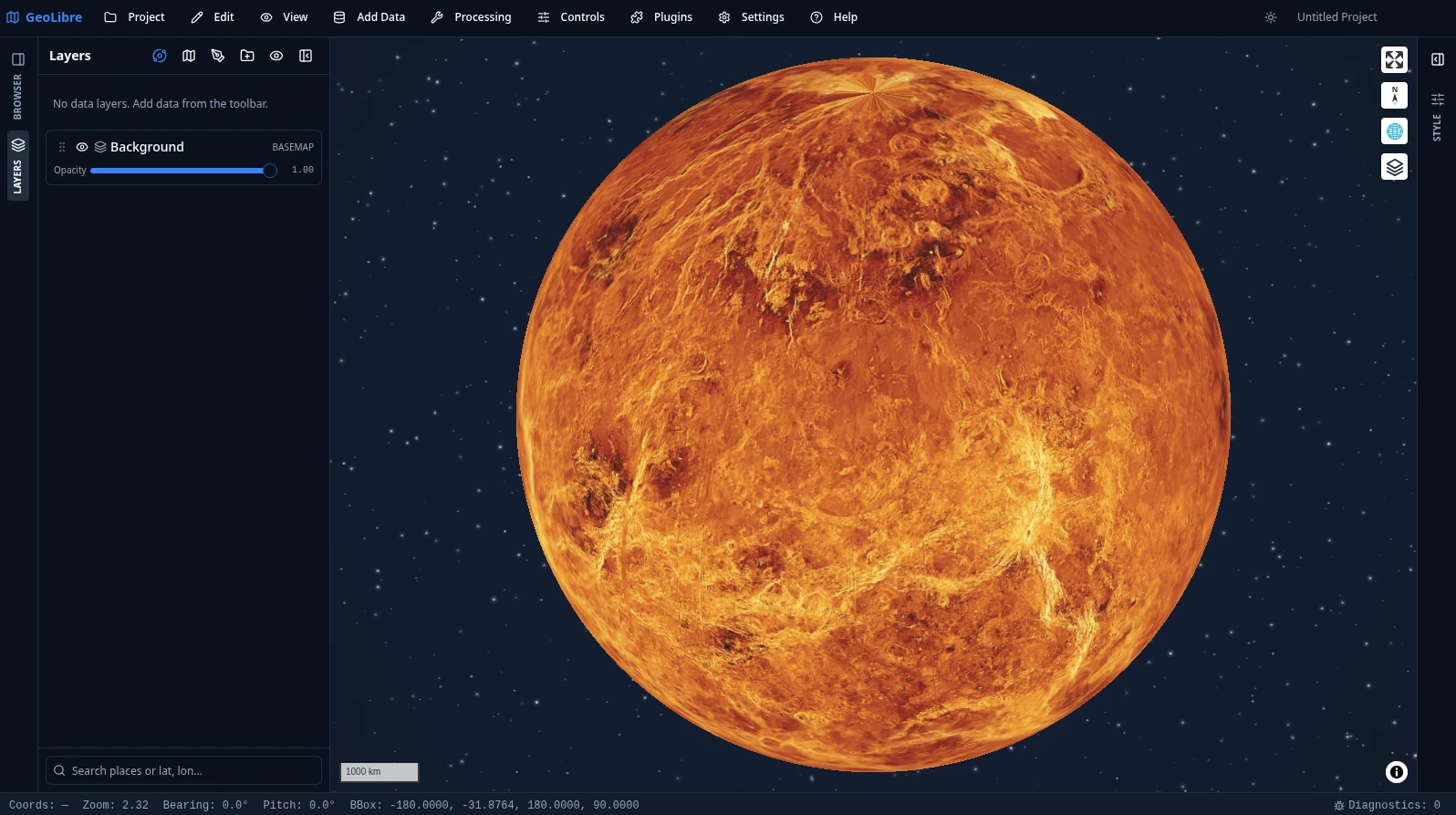 |
| Mercury | Pluto | Venus |
 |
 |
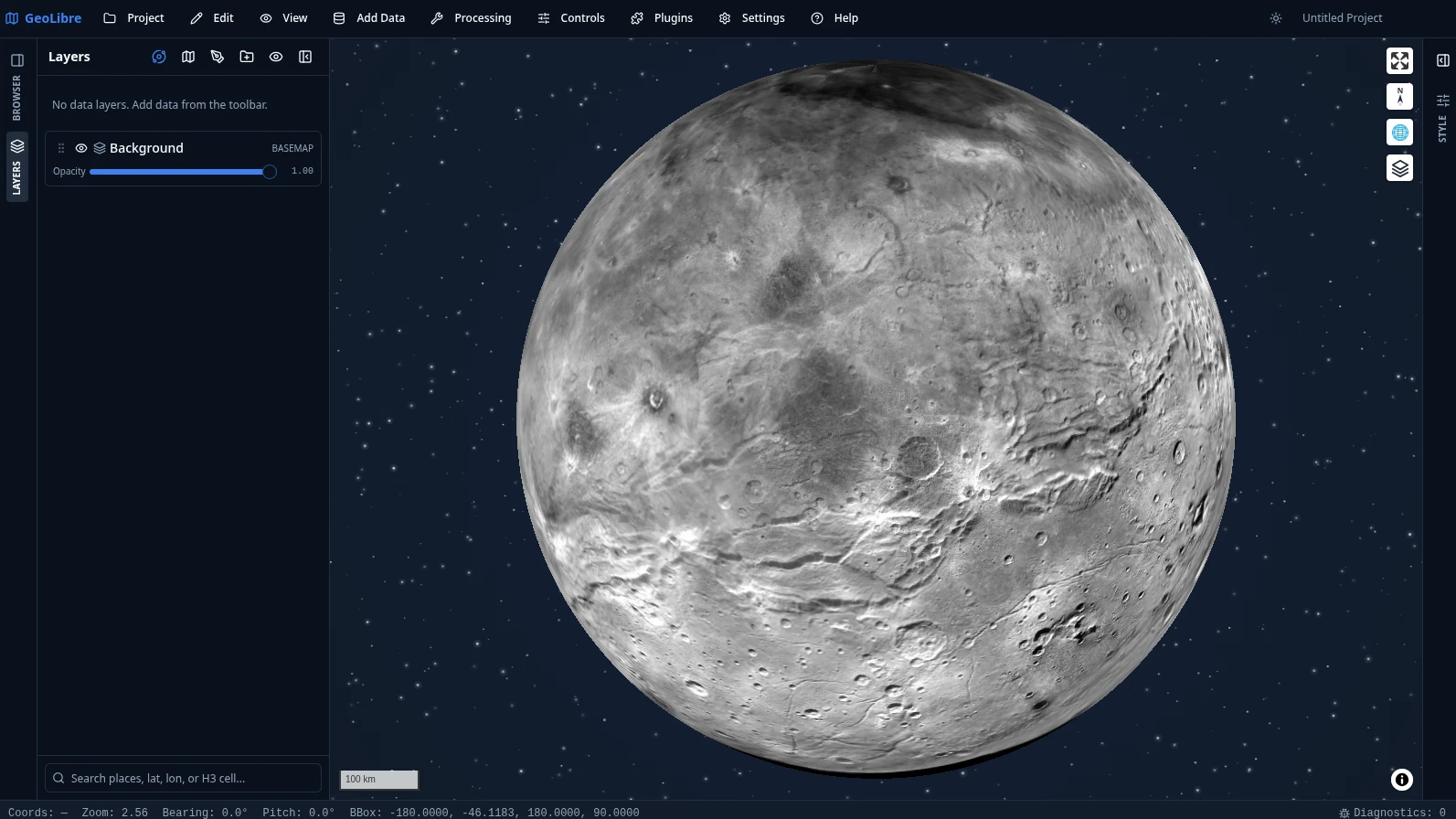 |
| Europa | Callisto | Charon |
Switch bodies from the planet switcher in the Layers panel. See Demos for more.
Video tutorials
- GeoLibre 1.0: A Free, Open-Source Cloud-Native GIS That Runs Anywhere (Browser, Desktop & Jupyter)
- Geoprocessing in the Browser: 700+ Free GIS Tools in GeoLibre, Zero Install
- Access Free High-Resolution Disaster Satellite Imagery in Your Browser
- Regularize Building Footprints in the Browser with GeoLibre
- GeoLibre + GeoLens: A Modern GIS Stack for Self-Hosting Geospatial Data
- Create Reusable GIS Workflows with GeoLibre Model Builder and AI Assistant
- Mapping the 2026 Nepal Floods with Free High-Resolution Satellite Imagery
- Building Cloud-Native GIS Workflows with GeoLibre
- Image Georeferencing Using GeoLibre in the Browser
- 100 Interactive Maps from Open Data: Explore, Fork, and Build Your Own with GeoLibre
All of them, with chapters and summaries, are on the Video Tutorials page.
Geoprocessing: 1,000+ tools, zero install
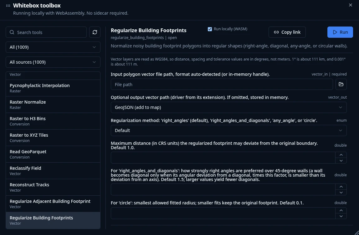
Processing → Whitebox Toolbox opens a toolbox of 1,000+ geoprocessing tools that execute in the browser through a WebAssembly runtime with native raster and vector I/O. There is no Python sidecar to install and no server to call — the tools, your data, and the results all stay on your machine, so the full toolbox is available on GeoLibre Web, on the desktop app, and on Android alike.
The tools come from the Whitebox Next Gen suite plus GeoLibre's own WASM tools, and are browsable by category straight from the Processing menu:
| Category | Tools | Examples |
|---|---|---|
| Vector | 313 | overlays, buffers, joins, cleaning, topology, generalization |
| Raster | 256 | algebra, filters, reclassification, zonal and focal statistics |
| Remote sensing | 154 | spectral indices, band math, classification, change detection |
| Hydrology | 100 | flow accumulation, watersheds, stream networks, depression filling |
| Terrain | 99 | slope, aspect, hillshade, curvature, ruggedness, viewsheds |
| LiDAR | 65 | point-cloud filtering, ground classification, DEM/DSM generation |
| Conversion | 49 | format translation to cloud-native GeoParquet, PMTiles, and COG |
| Network | 26 | connectivity, cost distance, and routing analysis |
| Projection | 4 | reprojection for raster and vector data |
Any tool is deep-linkable with a ?tool= URL parameter that preselects it and
pre-fills its form. See the Processing Tools guide
for details, and Geoprocessing in the Browser for
a video walkthrough.
Documentation
Full documentation, including the User Guide and Tutorials, is published at geolibre.app.
- Getting Started - use GeoLibre on the web, desktop, Android, iOS, or in Jupyter; run it from source; run it with Docker; and configure optional credentials.
- Features - the complete, feature-by-feature list of what GeoLibre can do today.
- Demos - a visual tour: 3D Tiles, 3D city data, planetary basemaps, the SQL Workspace, and embeds.
- Downloads - installers and package managers for Windows, macOS, and Linux.
- User Guide - a feature-by-feature reference for the interface, adding data, layers, styling, the attribute table, map controls, processing, the SQL Workspace, data integrations, plugins, settings, and embedding.
- Tutorials - hands-on, end-to-end workflows: your first map, cloud-native data, vector analysis, terrain analysis, spatial SQL, and sharing and embedding.
- Reference
Contributions are welcome. See the Contributing guide for the development setup, repository layout, and quality gate.
Sponsor
GeoLibre is free and open source, and stays that way. If it is useful to you or your team, sponsorship is the most direct way to keep development, hosting, and cross-platform distribution going.
- GitHub Sponsors - monthly or one-time, billed through your GitHub account.
- Buy Me a Coffee - a quick one-off contribution, no account required.
See the Become a Sponsor page for what sponsorship supports and for other, free ways to help.
Acknowledgements
GeoLibre is built on the free and open-source geospatial and web communities — including MapLibre GL JS, deck.gl, DuckDB-WASM Spatial, Turf.js, Tauri, React, and many more. See the full Acknowledgements page for the complete list of projects and community contributors.
- The Atmosphere Effects plugin (deep-space backdrop, parallax starfield, comets, and the globe atmosphere halo) adapts the technique and visual design from Leonel Dias's article Globe atmosphere, halo, and comets — the layered Canvas 2D approach, the halo gradient and "screen" blend, the limb-sampling that keeps the halo aligned under pitch, and the starfield/comet parameters.
- Community contributors — thanks to Ryanphoenix for many valued contributions, including issue reports, feedback, and improvements.
- Beta testers — thanks to René van der Velde (Netherlands) for early testing, detailed bug reports, and feature requests.
Disclaimer
GeoLibre is primarily built with Claude Opus 5.5, an AI model by Anthropic, working under human direction and review. Its results are tested, but check them for your own use, and please report anything that looks wrong.
Citation
If you use GeoLibre in your work, please cite it. GeoLibre is archived on Zenodo, which mints a DOI for every release. The concept DOI below always resolves to the latest version.
Wu, Q. (2026). GeoLibre: A lightweight, cloud-native GIS platform for visualizing, exploring, and analyzing geospatial data. Zenodo. https://doi.org/10.5281/zenodo.20785400
You can also use GitHub's "Cite this repository" button (which reads CITATION.cff) to copy a ready-made APA or BibTeX entry. See the How to Cite page for more formats.
Star History
License
관련 프로젝트 살펴보기
Asabeneh/30-Days-Of-Python
30 Days of Python 프로그래밍 챌린지는 Python 프로그래밍 언어를 30일 동안 배우기 위한 단계별 가이드입니다. 이 챌린지는 100일 이상 걸릴 수 있습니다. 자신의 속도에 맞춰 진행하세요. 다음 동영상도 도움이 될 수 있습니다: https://www.youtube.com/channel/UC7PNRuno1rzYPb1xLa4yktw
78,423 스타grafana/grafana
개방적이고 조합 가능한 옵저버빌리티 및 데이터 시각화 플랫폼입니다. Prometheus, Loki, Elasticsearch, InfluxDB, Postgres 등 여러 소스의 메트릭, 로그, 트레이스를 시각화합니다.
77,763 스타redis/redis
실시간 데이터 기반 애플리케이션을 구축하는 개발자에게 Redis는 가장 선호되고, 가장 빠르며, 기능이 가장 풍부한 캐시, 데이터 구조 서버이자 문서 및 벡터 쿼리 엔진입니다.
77,309 스타apache/superset
Apache Superset는 데이터 시각화 및 데이터 탐색 플랫폼입니다.
75,453 스타